Masindi District LG P.O Box 67 Masindi Tel: +256(0) 772 586423 Email: [email protected]

Geography
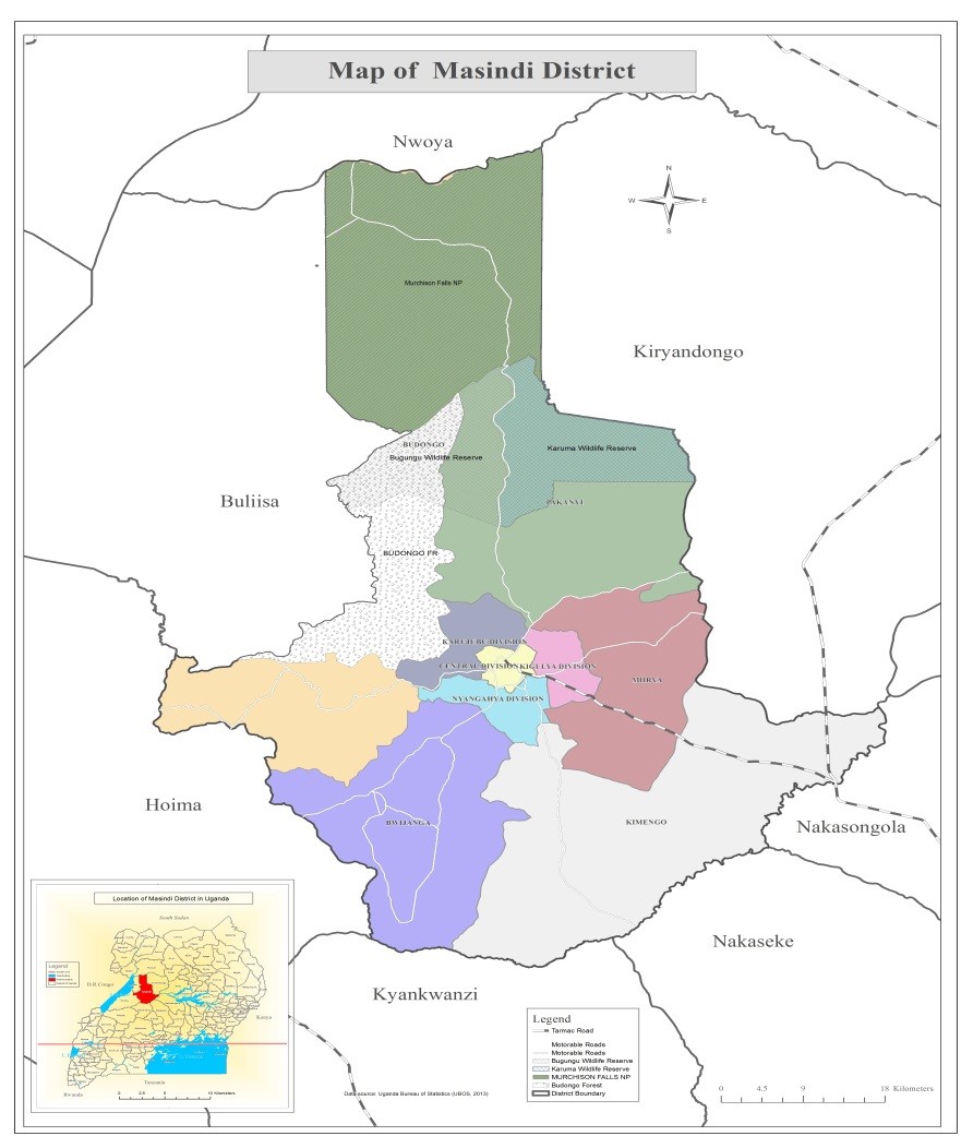
Masindi District is located in the Mid-western part of Uganda, with its headquarters 216 Kms away from Kampala. It borders Kiryandongo in the North, Kyekwanzi in the South- East, Nakaseke in the South –Southn East, Kiboga in the South, Hoima in the South West and Buliisa in the West. The District is at an average altitude of 1295 meters above sea level, situated between 10 22’ and 20 20’ North of the Equator, longitude 310 22’ and 320 23’ East of Greenwich.
Masindi District covers an area of 7,443.0 Sq kms of which 456 Sq kms is open water, 197.5 sq. km is permanent/seasonal wet lands 6446 sq. km is area excluding open water and swamps and of which 6332 square is arable land. The District Perimeter is 378 kms.